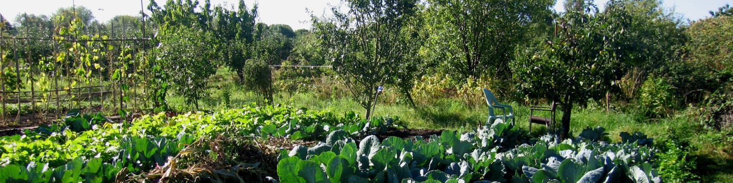
This week in the EWAA shop (10-12 on Sunday), as well as the chance to buy your seed potatoes, onions sets, seeds and garden paraphernalia, you can participate in mapping Oxford’s food production history. We will be asking everyone to tell us about their memories of orchards, bakeries, breweries, farms, mills, eel-trapping grounds and anything else you can think of so we can map it all together. This is a trial run for what will hopefully be a much bigger community local history project later on running city-wide with interviews, research skills training for volunteers and events, leading to an exhibition at the museum and creation of various maps showing Oxford’s history of providing for itself.
Mapping Oxford’s food history